Wolf Creek Pass to Elk Creek Park: June 18th - June 24th, 2025
* Day 0: Zero day in Pagosa Springs. Breakfast followed by errands followed by chores all permeated with slight fretting over the next section of trail. How will the snow be? What kind of mileage can we make? Weather? Elevation? Our next resupply spot is Silverton - will we really be able to hitch a ride on a 4x4 road late on a Tuesday? Turns out there's actually a "wilderness access" train stop we can use to board the Durango-Silverton line... But will we really be able to get there in time for an 11:15 AM train? Challenge accepted. We mostly eat in the hotel room, watching the budget and surprisingly inconveniently located for any compelling restaurants. Pagosa is a bit of a strange town, east and west parts separated by 4 miles of highway with a sparse assortment of businesses in between, including our hotel. There are no sidewalks on any of the streets and you're constantly a tradfic hazard as a pedestrian. The local bus helps and every ride is honestly enjoyable thanks to the friendly and chatty drivers. But it's a small red flag when the only two grocers in town are Natural Grocers and Walmart. Daytime PBS on the TV - Antiques Roadshow, Rick Steves. Wheel-of-Fortune later, then back-to-back Gordon Ramsey shows on Fox; it reminds me of childhood in a slightly unsettling way. They still make Gordon Ramsey shows?

The super cute Alpine Inn

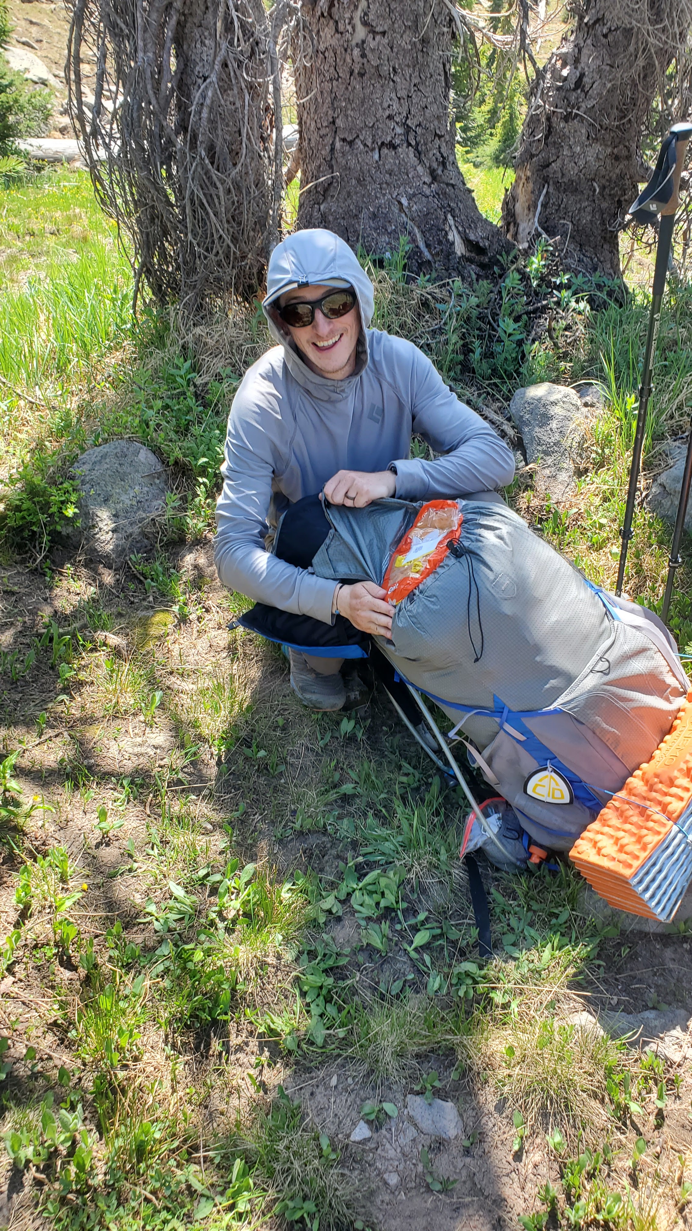
* Day 1: Scorpion Queen arrived in Pagosa just an hour or so after us, and we're planning on catching a ride with her and Ragnar up to Wolf Creek Pass at 9:00 AM. Have a generous continental breakfast at the Alpine Inn. The owner chats and jokes with us a lot and doesn't seem to mind the hikers. But shortly before 9 the message comes that our ride won't work out. So onto the bus to the east side of town and start to hitchhike. Lots of traffic - no luck. After an hour we ask the folks at Ski & Bow Rack if they know anyone offering shuttles to hikers, and they're super helpful but that person is out of town. Back to the road, a bit farther down the highway, and pretty soon a maroon big rig pulls over and lets us climb on in. Riding in style. The driver used to be a C programmer for IBM but quit his job and sailed around the Caribbean for 2 years - oddly familiar. We make it up the hill and after some effusive thank-you's we finally hit the trail. At noon. This didn't work out super well last time... But we get started on the hike. It's not too long before Squirt, Cowgirl, and Hummingbird pass us, having just recently got up there themselves. And pretty soon we find SQ sitting on a log, debating whether to take the Red Line or the Creede Cutoff. For a brief moment we're nearly sociable, bouncing around people we know and trading remarks. The trail is clear and dry and uphill most of the way but easy to follow. By about 6 PM we've made it to Archuleta Lake, have dinner, and decide we're better off turning in and getting an early start tomorrow instead of hiking til it's dark. About 5 miles short of our plan though. So an early morning it will be. SQ's decided to take the Creede alt. and now has a hoard of unneeded food that she tries to vigorously donate. Susan manages to avoid carrying any more stuff but I can't pass up the bag of caramel popcorn. Our packs are already extra heavy with 6 days of food, and I started upping the amount of food I carry because Colorado hiking makes me hungry. An entire 12 pack of King's Hawaiian Rolls sits at the very top of my backpack. It turns out Scorpion Queen, Squirt, Hummingbird, and Cowgirl are all taking the alt. Low Branch is already a day ahead on that path. So goodbye forever, folks we almost started to know a little bit! Maybe we'll see SQ again. Don't go to sleep early enough for the alarm.

Approaching Archuleta Lake


Classy ride up to Wolf Creek Pass
* Day 2: I don't sleep well. Overheating in my thermal and also wake up twice to a deflated air mattress. ****. Guess it's night 1 and my air mattress has a leak. 4:00 AM alarm. Susan does the chores and makes sure we get out on time; no one else is awake by then so no goodbyes. But we need to go almost 18 miles today to make up for yesterday being short so we're off. I think I stayed half-asleep for the 750 foot uphill that started our day. We pass a tent that *could* belong to Poncho (the older hiker who got a ride out right before Elwood Pass on the last section) - looks like Susan and I really won't have much company hiking out to Silverton. We go up the shoulder of Hope Mountain, over the shoulder of Sawtooth Mountain, and roll up and down through forested hills and alpine tundra all day long. The trail seems to dead end for a moment at a mountain, until we realize that it literally zig-zags up the steep south-east face. So happy the trail has been free of snow and even mostly melted out so far - these would be serious situations in winter conditions. But now a group of elk are calling to each other and bounding through a bowl far below. The sun beats down out of a clear blue sky; aside from some concerns about wind, we continue to find ourselves the beneficiaries of a heat wave, warm and dry and sunny for about 6 days past and at least 4 more forward. The wind did buffet tremendously through some of the passes, and we'd find ourselves easily losing balance or diagonaled a few feet off the trail. Classy picnic of beef jerky, cheese, an apple, and Hawaiian rolls at a picturesque cascade. After about 15 miles we're both quite tired but we know how helpful it will be to get a few more miles in today. We eventually arrive at a quaint spring-fed pond faithfully reflecting its surroundings and set up camp. Did over 5,000 feet of ascent today over 17.8 miles, hauling five days of food. Feel kind of justified in how tired I am. Tired feet but they've (mostly) stayed dry all day! Tired eyes as well. I check out my air mattress and can't find a leak, but once I'm laying on it in the tent I can feel my hips sagging ever closer to the earth. Bummer. Hope I can sleep.


Sunrise on south San Juan summits

* Day 3: Did get some sleep; managed to nestle between lumps on my foam pad and stay warm enough. It's already breezy by the time we get going. Rolling up and down a bunch of small, steep hills. The trees are always the first to tell you when the wind comes, pine branches swishing with the rushing air before a great *WHOOSH* descends upon you. Pretty soon we have to go up a bigger hill and pop out on a round gravel ridge above treeline. The wind hits fiercely here, and I walk like a cartoon sailor fresh to shore: feet spread wide, knees slightly bent, wobbling back-and-forth fighting an invisible force. We reach a junction and I see with dismay that the trail turns right and continues along the head of the basin, the lowest point of the ridge, where the air barrels through with even more urgency from the west to east. It's a battle with constant winds of 35-40 mph and 60 mph gusts that stop us in our tracks. Finally we reach the far end, lower and sheltered by trees on the ridge, and I look back and realize we've traced a "U" all around this basin, mostly entirely exposed to the ferocious wind. Things got a little better after that. On and off ridges, traversing bowls, sometimes exposed to buffeting rumbles of air, sometimes not. We turn a sharp corner around to the north-facing side of Knife Edge, anxious because this passage was described as the most serious remaining snow obstacle, but find it almost entirely melted out. Summer's hit the San Juans early and hard, so it's fairly straightforward to follow the path etched along the base of the cliffs. Very sheltered on this side - hot. But we can look down to the floor of the basin and see the trees shake in the wind, see whitecaps on the lake. Turn a corner and return to the gale - cold. Up and over some more ridges and we finally drop into one of these basins instead of traversing around and above it, and it's a beautiful, lush green cirque with a waterfall pouring down the center, cut into the tan granite bedrock, overseen by pyramids of rock with steep faces. Primrose appear along the creeks. Back below treeline, it's sheltered and hot. Yet by the time we realize our planned tent site is around a corner, exposed to the roaring wind, it's too late. Gorgeous camping, in a small grove of pines just above a clear, ice-cold creek that burbles gently, except for the freight trains of air that come whipping through the pass, buffeting the trees until they go from tickled swaying to manic veering back and forth in the air. The tent seems to be doing alright with the rainfly off; I'm so happy at least storms haven't been involved in this weather. Good dinner of yellow cheesy mashed potatoes and BBQ beef. Birds chatter sweetly at dusk; surely they'd evacuate if these trees were at risk of toppling over.


* Day 4: The wind didn't die down overnight. In fact, it's even more intense and sustained this morning. Susan says she thinks we really need to bail, down a different trail to a campground and potential hitch back to Pagosa. Lying in the tent, watching the black outlines of pine boughs swoop and flail erratically against the muted-blue pre-dawn sky, I felt rather inclined to agree. Pulling a new forecast showed the wind increasing throughout the day. Seems like bail time. The breeze outside is chilling. Yet as we cleaned up camp, ate breakfast, studied the maps, and discussed the options, I gradually convinced myself that we wouldn't have a terrible time with the wind and we should try to finish the CDT line. After a little cajoling Susan was on board. So a little late we start up the trail, and for about 4.5 miles it's a warm and sheltered and beautiful experience, climbing up to the old glacial bench and traversing through great, craggy cirques. I almost say "I told you so." But over the top of the ridge we're sheltered no more, and for three miles we're once again playthings for walls of wind to buffet around. We hike through that part with little to no breaks. But as the trail descends shelter finally arrives again, and soon we're far too hot under the completely clear sky and under 11,000 feet of elevation for the first time since Day 1. In fact, we drop all the way down to 10,500, even lower than where we started at Wolf Creek Pass. Here lies Weminuche Pass, a broad, emerald expanse of valley meadows speckled with dandelions and threaded with serpentine creeks cut deep into the turf, flowing swift and clear. It seriously looks like the sort of Paradise they used to lure homesteaders out west. We laugh at the Texan who complained about having to share Colorado because we literally haven't seen another person since Day 1. It's a mile across the pass the short way, and we linger as long as we feel we can in this idyllic space. But the Rio Grande Pyramid, dominating the skyline since this morning, now looms large at the head of the drainage above us. We know the trail takes us up and over its shoulder, so better get started hiking uphill. The trail on this side is pristine, full of well-constructed switchbacks with stone or log retaining walls and nice, dry thorofares with fresh grey crush. Stands in stark contrast to the comically brushy sections earlier today, where the contorted twigs of overgrown alder grasp and tug at you with every step and you just have to trust that the tread won't dead-end at a wall of impenetrable vegetation. Set up the tent on an Instagram ledge and put up with the tight space because you can't beat that view across Weminuche Pass. Susan found her buff this morning, and while setting up camp my missing earring and the missing sponge both appear as well - good luck.


.jpg)


Nice morning hiking to boost our morale
* Day 5: Got cold overnight. Frost down in Weminuche Pass. My bag of water hanging off a dead pine branch got slushy. Eventually get moving because the sun won't find us so we have to find it. We hike around The Window, south of the Rio Grande Pyramid. Dropping into the next basin the boulders get bigger, the rock more exposed, and jagged peaks appear on the skyline. Wander past Ute Lake. We have a really hard time predicting this trail as it traces "C"'s and "U"'s and stubbornly remains high; I start coming up with backronyms to stay entertained, like "Circuitous Diversion Trail" or "Circles and Detours Trail". Up around the north side of Mount Nebo, down the other side along a steadily intensifying creek. Storm King mountain rises more steeply on all its mottled rocky sides than any peak we've seen yet, and I can't look away until I catch up with Susan. She snaps me out of my daydreams - she's suffering some snow-blindness and can barely keep her eyes open. Well this is bad. As we descend back below treeline her eyes get better with more shadows offering relief from the sun. But that doesn't last long - there's one more big hill to climb. To the south, great bastions of rock rise abruptly from deeply-gouged valleys, dwarfing the pines beneath. After days of broad, brown-and-rust mountains that roll away like a series 13,000 foot waves, the contrast here in the western part of the San Juans is captivating. We hang a right and start hiking up towards Hunchback Pass. Susan can only keep her eyes about 60% open on average, so I feel bad about how much I'm enjoying the scenery. It depends a lot on whether there's a sheen of water covering the trail and reflecting pure white sunlight back at her. Since this is the CDT, a hell of a lot of the trail is like that; I'm getting really sick of sploshing through muddy trenches. The melting snow has also figured out that the trails offer the most efficient means for travel downhill, and since water is very lazy it's all gathering in those paths of least resistance. My feet are wet. Stop for dinner along the way. Last part of the trail is comically steep, a calf-burner. The far side of Hunchback Pass is still holding appreciable snow; it must have been socked in even a few days ago. Some ominously grey clouds gather on the horizon, so I check the weather - no rain til 6 AM. We have a much earlier morning planned, so it should be OK. Last night on leaky air mattress. Did almost 18 miles today but finally caught up from our day 1 deficit. We did finally see some other hikers last night, and again tonight, hiking by where we'd set camp, but they don't seem to see us.


Looking up at Rio Grande Pyramid and The Window in the morning
* Day 6: Garmin Weather was wrong. About 10 PM rain starts spitting on the tent, and I *heroically* leave the warmth of my sleeping bag to put the rainfly up. My noble deed doesn't go unnoticed, and within 40 minutes heavy drop driven by wind plop against the fly. Rain continues off-and-on all night. When our alarm goes off at 3 AM, it's raining. Not easy to get up and going. But Susan *heroically* gets water boiling for coffee and soon the tent is down and packed. We have a train to catch at 11 AM, and a very nice place to stay in Silverton, so we don't intend to miss it. But the very first bit of hiking is demoralizing. It's lightly raining. A bog and muddy trench get my feet wet. We have to cross a dirt road that I mistake for a stream because the whole thing flows with several inches of water - feet are soaked. Then we cross the actual stream, which is high enough to cover the stepping stones - my feet squelch and prune and go a bit numb from the cold. Then a very steep slog uphill. I'm so grateful when we finally hit the Colorado Trail/CDT junction, but a rumble of thunder says we can't linger for long. So down the CO Trail, down along Elk Creek, first with 27 switchbacks and then along cliffsides and through talus fields. The scenery in the canyon is amazing, huge walls and buttresses of sheer rock rising dramatically from the deep valley. Towering cascades emanate from the tops and tumble thousands of feet down all the way to Elk Creek; I guess that way is even quicker than the trail. And the CO trail is quite nice - dryer, clearer, it looks like a crew has already come up this season to clear drains and blowdowns. It's somewhere between the North Cascades and Montana's Beartooths. Across a vibrant meadow I catch glimpses of sharp-ridged Vestal Peak and Arrow Peak that remind me of the Pré de Madame Carle in the Écrins. Down down down we go, to below even 9,000 feet, the lowest hiking we've done since leaving Ghost Ranch two weeks ago. There's the trailhead, and there's even a sign that says "Train Stop" and points us along toward Elk Creek Park. Yet there's no infrastructure here, just a switch and a spot for one train to pull over and let another pass. It's about an hour and a half before the train is supposed to arrive. So we take the chance to dry some things in the sun that's overcome the morning storms, and anxiously await 11. We aren't clear where to stand to flag the train and are both nervous something will happen that messes up the plan, leading to several more hours of hiking. But we hear a rumble in the distance, soon a whistle blasts up the canyon, and the mustard-yellow cars of the Durango-Silverton line swing into view. I awkwardly dance, as instructed, to flag the train - apparently trains are bees and communicate by dancing. Doing something akin to the Charleston means "stop". And it really stops! One hiker gets off, the friendly conductors help us on board, and $70 later we're on the way to Silverton! The open-air cars provide the perfect way to watch the retreating Needle Mountains or the mighty Animas River flowing high from snowmelt. In Silverton by 11:30 AM. Holy crap it worked. Silverton is super cute; one paved road and the rest gravel, wood-clad buildings from the mining era abutting empty lots, and tourist-trap shops every few feet selling souvenirs and fudge and ice cream and antiques. Very much the American answer to a European alpine village. Kendall Mountain café for a hearty and warming lunch (yes, I still want a side salad even though my open-face burger looks like a salad). Get groceries. Allowed to check-in at 2: this place is swanky! Thanks, Mom :). Two separate rooms - woah! The laundry machine just down the hall is soooo convenient. Get some chores done, get cleaned up. Eat much cereal. A hard last section but we really actually made it to Silverton as planned. Bedtime.


Arrow Peak, Écrins vibes


You didn't tell me there were TRAINS on the CDT :0
ReplyDeleteIn fact, this was the *second* train we encountered along the CDT. But because we're in America they're novelty historical rides instead of of useful public services 🥲
Delete